Photographer - videographer
|
The customs pathon the move on the Pink Granite Coast
Focus on
The must-havesFrom Lézardrieux to Tréguier | 2 days
Heading for the Lézardrieux peninsula
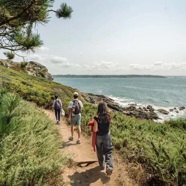
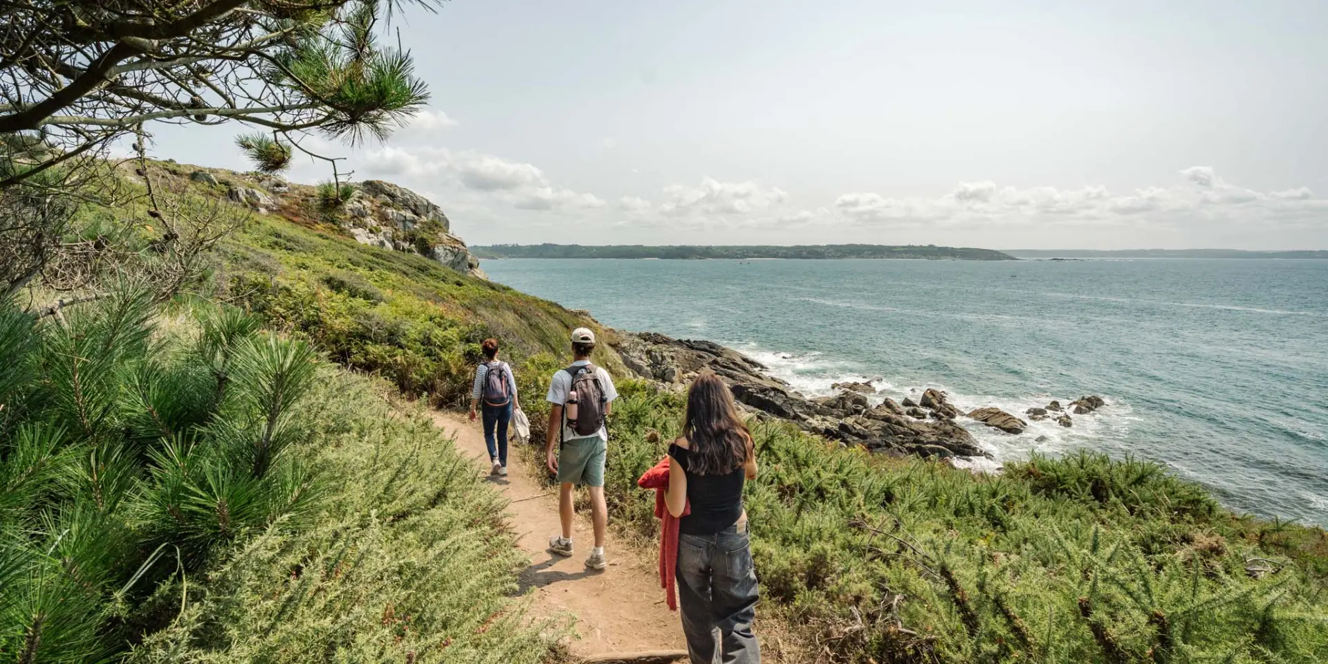
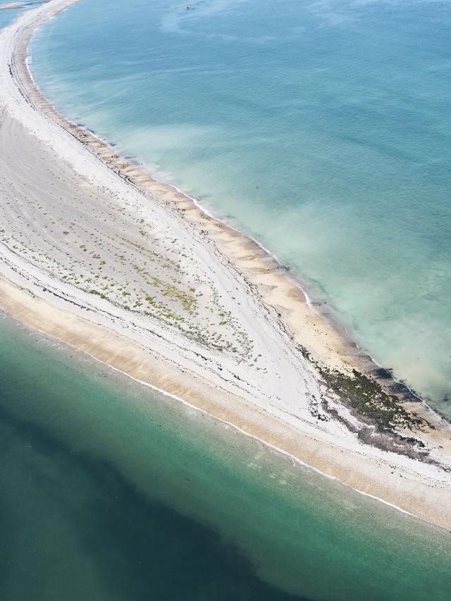
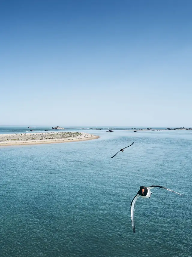
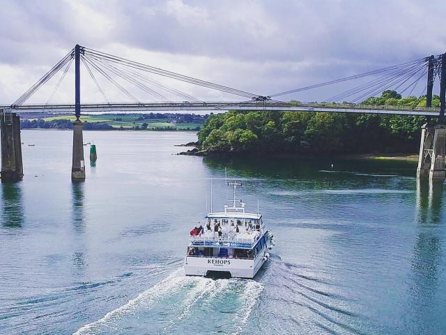
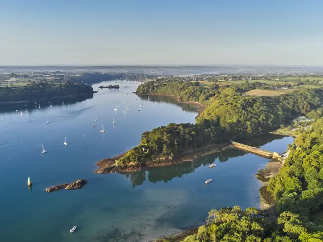
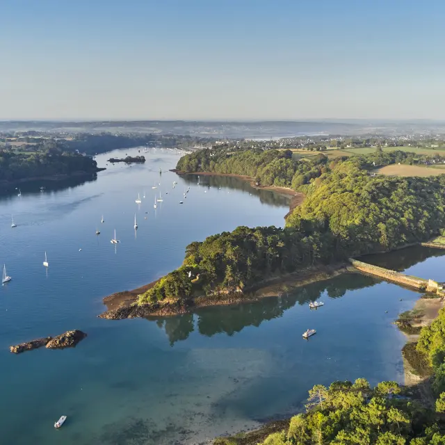
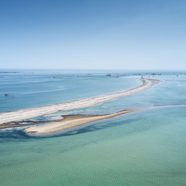
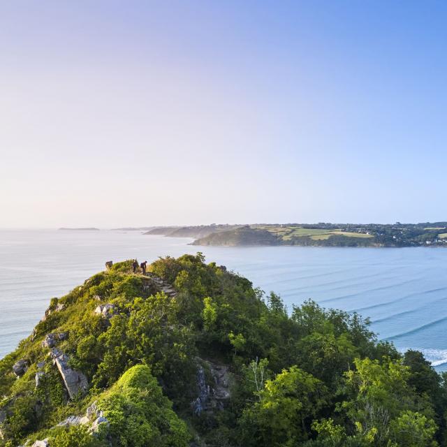
Once you’ve laced up your hiking boots, leave Lézardrieux and follow the GR®34 along the coast. Head north to the charming little hamlet of Kermouster, which offers a breathtaking view of the mouth of the Trieux. To the very north of the peninsula is the Sillon de Talbert nature reserve, a 3km stretch of sand and pebbles jutting out into the sea. An exceptional landscape awaits you! You can enjoy panoramic views of the sea and the coast, with the island of Bréhat in the background, and observe the marine flora and fauna typical of this coastal environment.
Discover a wild, jagged landscape with vast shores overlooked by the ancient Créac’h Maout semaphore and its magnificent panorama of the sea. The coastal path then takes you along the Jaudy estuary towards the town of Tréguier, passing close to the remarkable Kerdalo gardens. The perfect natural setting for a bucolic break!
For more information on this walk:
🥾 Distance: Approximately 42 km over 2 days
⛰ Difference in altitude: Moderate, with a few moderate climbs and descents.
👀 Difficulty: Moderate | coastal terrain with some sandy and rocky sections
🕦 Duration: 5h to 6h walk per day on average
La Roche Jaune Studio Jezequel 2
|
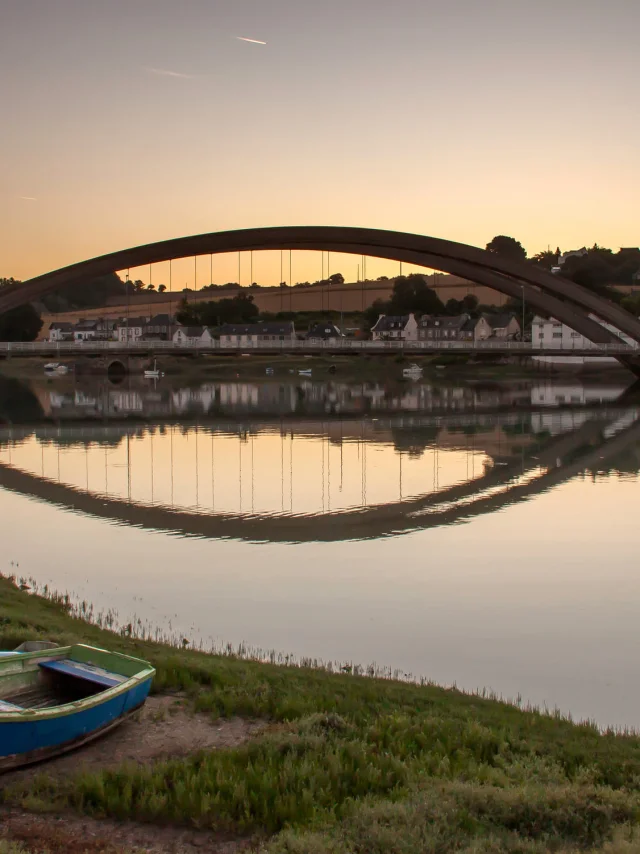
L'oeil De Paco Tréguier (3)
|
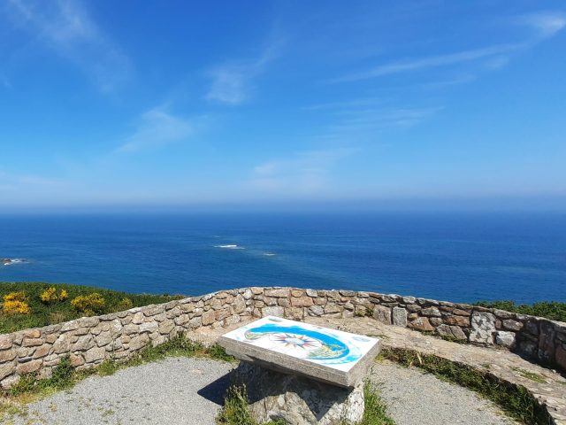
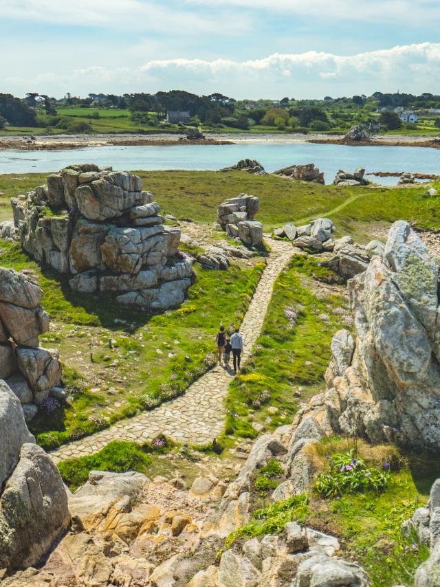
View of Créac'h Maout
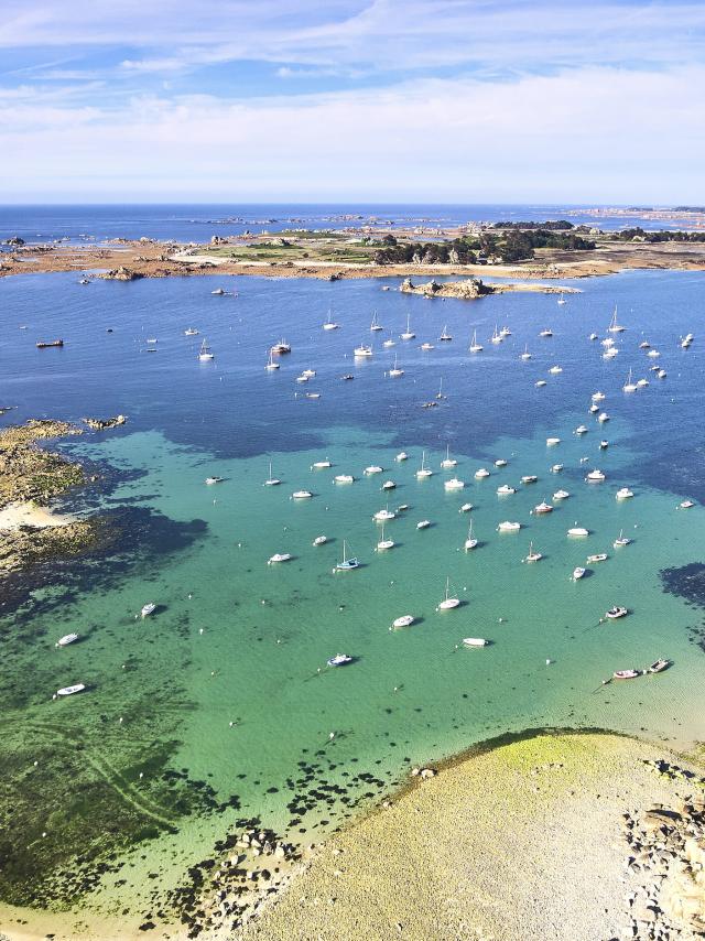
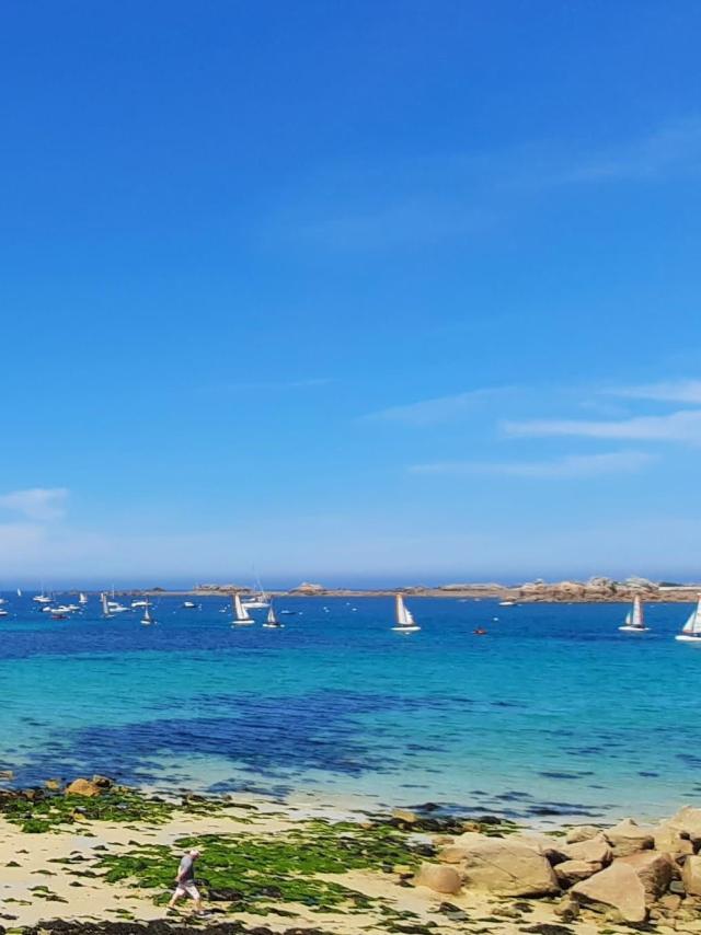
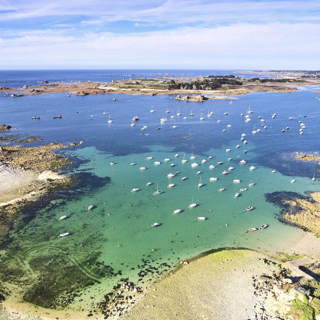
Port Blanc archipelago
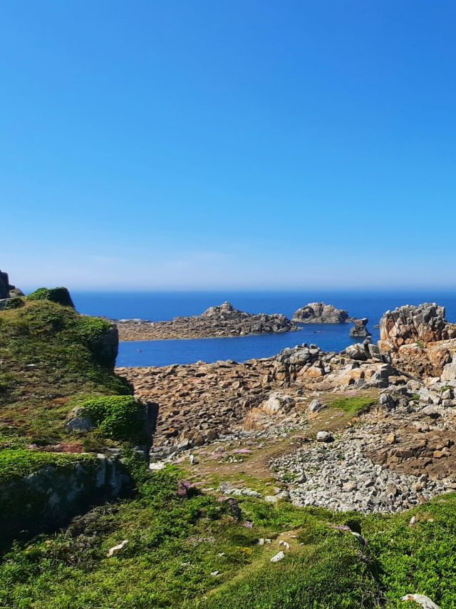
Port Blanc island
From Tréguier to Perros-Guirec | 2 days
Walking on the Côte d'Ajoncs
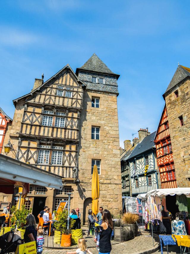
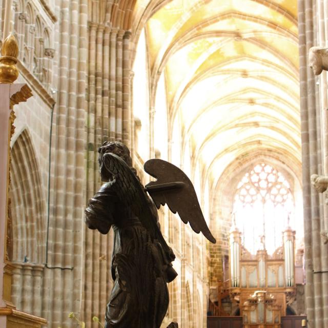
Before leaving Tréguier, visit the magnificent Cathédrale Saint-Tugdual, a jewel of Gothic architecture in Brittany. The route takes you to the small oyster-farming port of La Roche Jaune, then on to Plougrescant with its parade of small coves, harbours, wild moorland and rocky coastlines sculpted by the elements. Resume your walk before stopping to visit the famous Gouffre de Plougrescant, a spectacular rock formation where the sea plunges into a deep crevasse. And yes, nature can be surprising in Brittany! You continue your walk through the picturesque villages of Buguélès and Port-Blanc, before reaching the magnificent beach at Trestel. Take off your hiking boots, you’ve earned it.
All the info on this hike :
🥾 Distance: Approximately 44 km over 2 days
⛰ Difference in altitude: Moderate with a few climbs, particularly around Plouguiel and Buguélès.
👀 Difficulty: Moderate | sometimes steep path, rocky sections
🕦 Duration: 6h to 7h walk on average
From Perros-Guirec to Lannion | 4 days
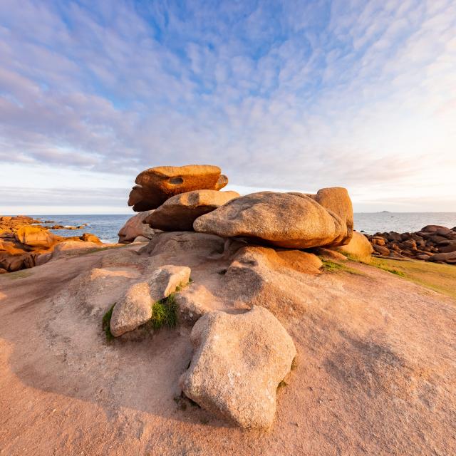
In the heart of the Pink Granite Coast
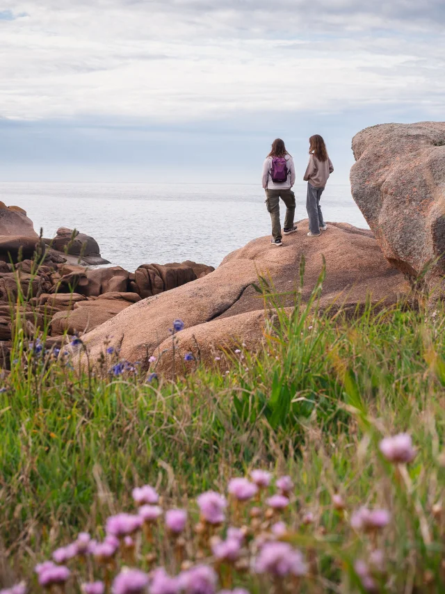
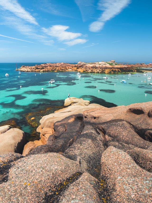
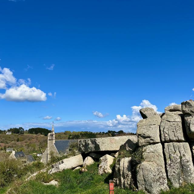
Follow the customs path to Ploumanac’h! Here, you can admire the often surprising shapes of the rocks sculpted by erosion. Continuing along the GR®34, you’ll come to Trégastel, where you’ll find Ile Renote, a small island surrounded by superb pink rocks, offering a breathtaking view of the coast and the Seven Islands archipelago. Passing through the Landrellec peninsula and Ile Grande, you then reach Trébeurden, where you will find impressive pink granite formations such as Castel, a granite chaos facing Ile Milliau. As you pass the Pointe de Bihit and its steep path, the view opens out over the Bay of Lannion and the mouth of the Léguer.
For more information on this hike:
🥾 Distance: Approximately 71 km spread over 4 days
⛰ Difference in altitude: Significant, with many hilly stretches between Ploumanac’h, Trégastel and Trébeurden.
👀 Difficulty: Difficult | substantial difference in altitude, steep path in places
🕦 Duration: 6h to 8h walk on average
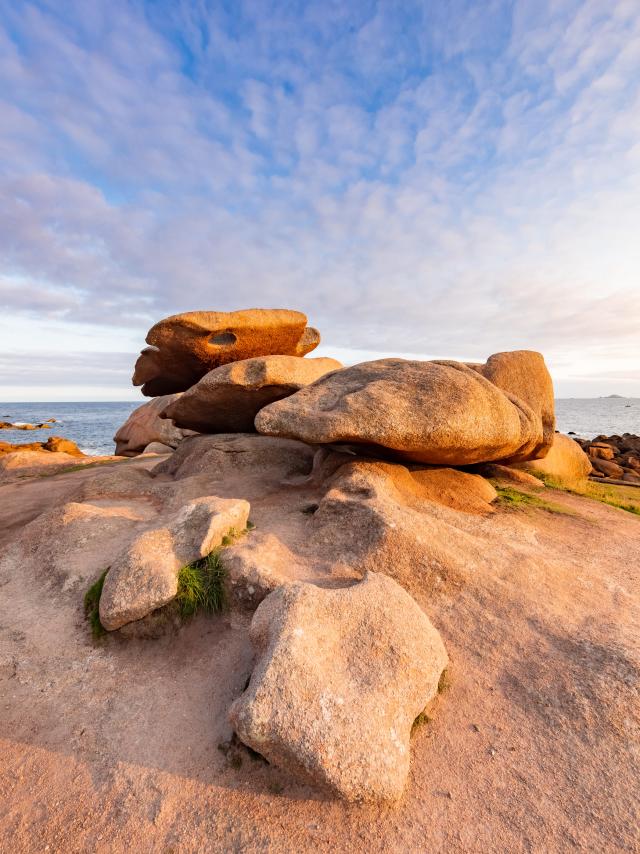
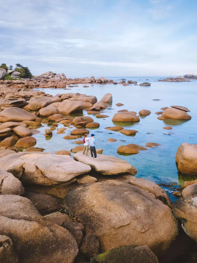
Presquile Renote Tregastel
|
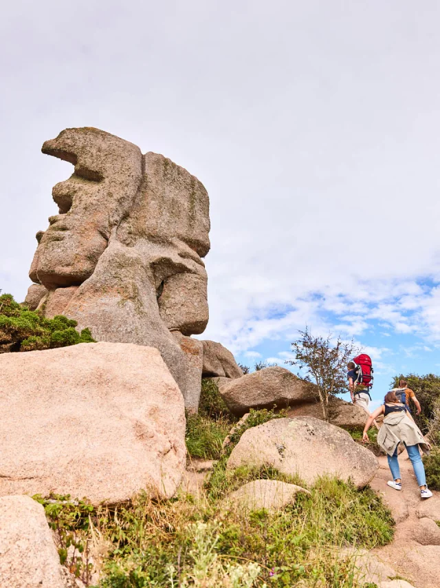
Father Trebeurden
|
Tregastel 2
|
Trégastel
|
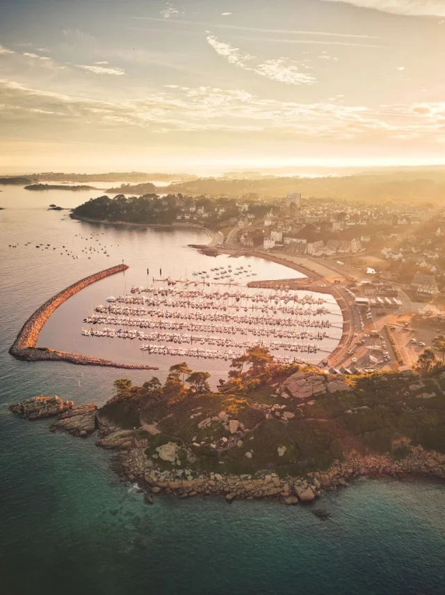
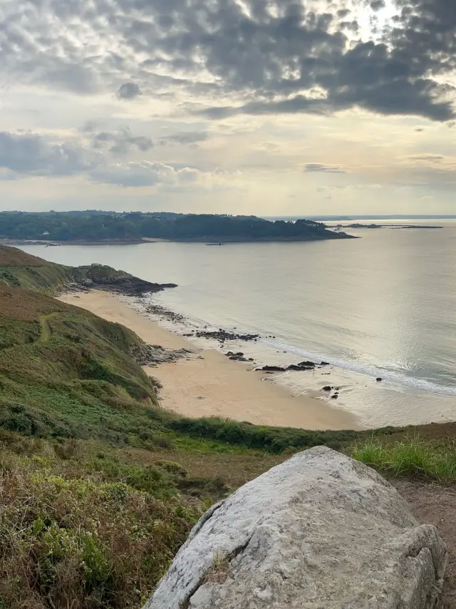
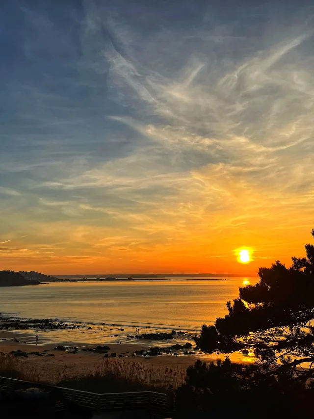
Sunset at Beg Léguer - Lannion
|
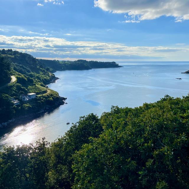
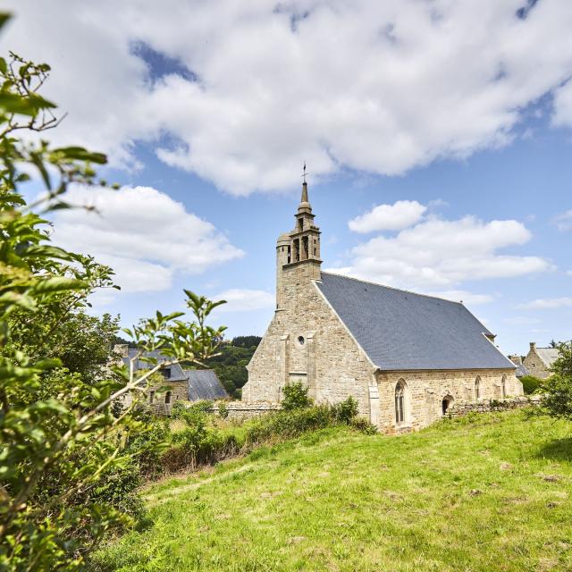
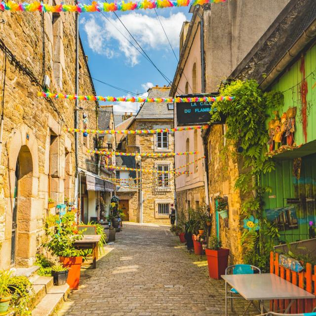
Venelle des 3 avocats Lannion
|
From Lannion to Plestin-les-Grèves | 2 days
Towards the Lieue de Grève from estuary to cliffs
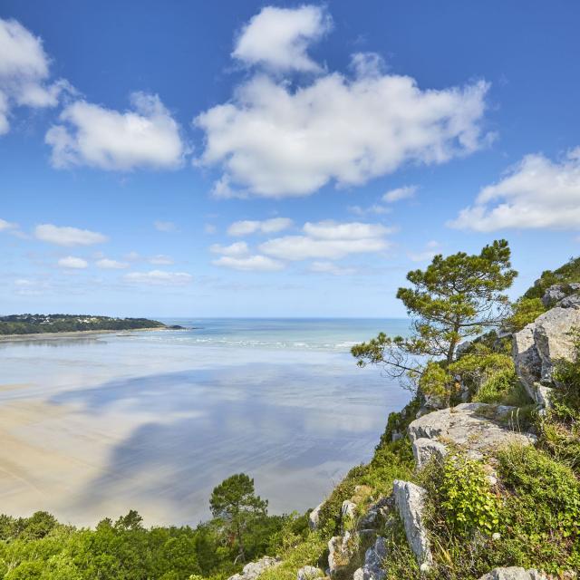
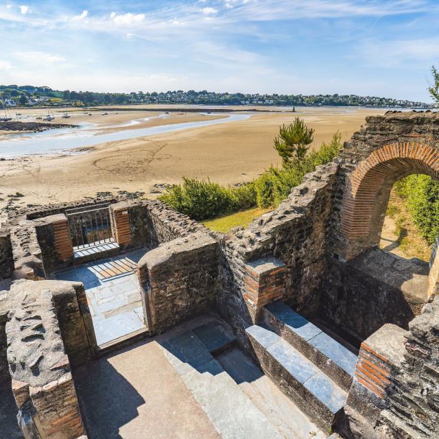
Passing the pointe de Beg Léguer, you enter the Léguer estuary, which leads to the historic town of Lannion. Heading back towards the sea, you’ll discover the mysterious site of Le Yaudet, which dominates the river mouth from the top of its rocky promontory. You will then pass the Pointe du Dourven and the Port de Locquémeau before heading for the cliffs of Trédrez, following the GR®34, a vast and particularly wild rocky coastline that still offers superb panoramic views. The scenery takes you as far as the Lieue de Grève, a foreshore more than 4 km long dominated by the 84-metre-high Grand Rocher. Your journey ends at the Pointe de l’Armorique, with its charming beaches and small coves, where you can take a refreshing break at the archaeological site of the Thermes du Hogolo, vestiges of Romanised Armorica.
All the info on this walk :
🥾 Distance: Approximately 37 km over 2 days
⛰ Difference in altitude: Moderate – climbs to Yaudet and the cliffs of Trédrez.
👀 Difficulty: Moderate – coastal sections sometimes windy, varied terrain
🕦 Duration: 5h to 6h walk on average
Checklist of things to see and do
on the customs path on the Pink Granite CoastDid you know? The customs path offers you the chance to discover a multitude of natural and historical sites along your walk! Here are just a few of the points of interest not to be missed on your walk along the Pink Granite Coast:
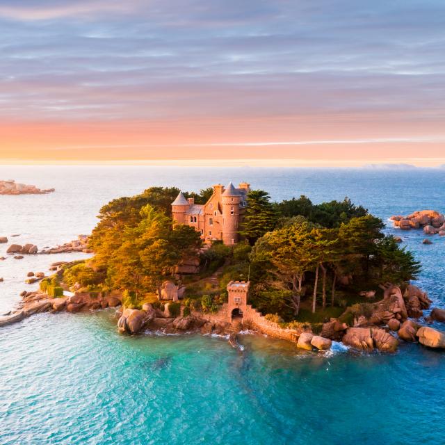
✅ Coastaérès castle and Ploumanac’h
✅ Le Sillon de Talbert
✅ The Trieux estuary
✅ The Port-blanc archipelago
✅ Plougrescant chasm
✅ Tréguier Cathedral
✅ The Renote peninsula
✅ La Pointe de Bihit
✅ Le Yaudet
✅ Le Grand Rocher
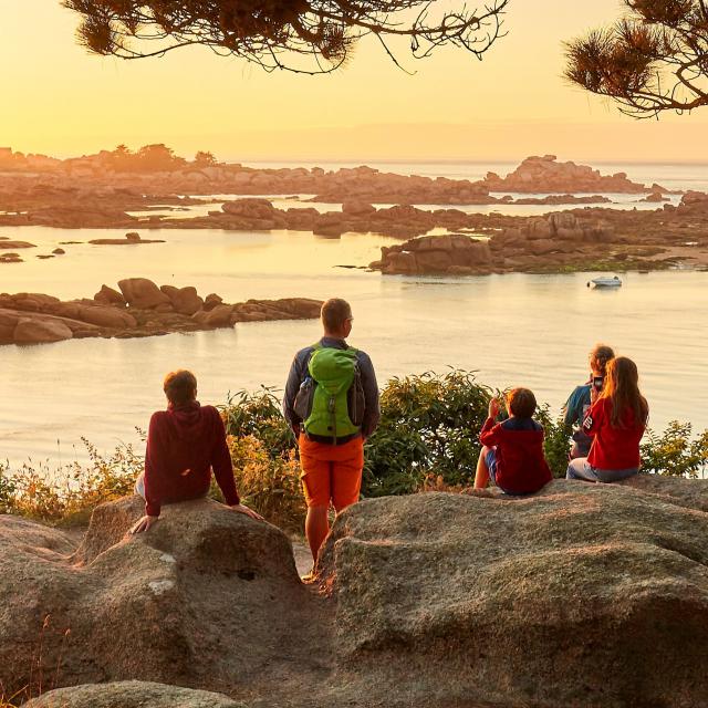
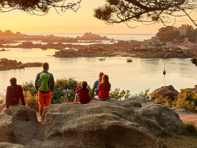
Balade en famille face à l'îlot de Costaérès
|
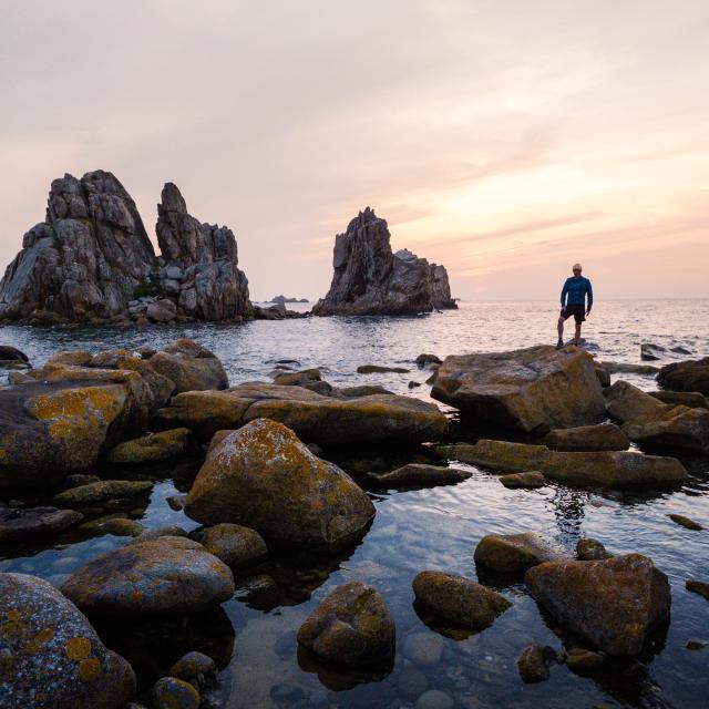
Sunset Pors Scaff Simon Pouyet.jpg
|
Visite Guidee De Treguier Yann Josselin 24
|
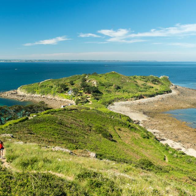
La Pointe de Bihit in Trébeurden
|
The customs path on the Pink Granite Coast
Frequently asked questions- What is the customs path?
- How many stages are there on the Customs Trail?
- Where can I find out more about the Customs Trail?
- What level of ability do you need to set off on a hike along the customs trail?
- Can you cycle the customs trail?
- What do I need to take with me on a hike along the customs path?
- Where can you eat on the customs trail?
- On which beach can you take a break along the customs path?
Organise your visit
for a successful stay








Balade en famille face à l'îlot de Costaérès
|
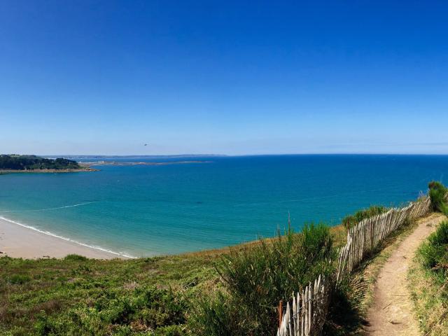
Plage de Maez An Aod - Baie de Lannion
|
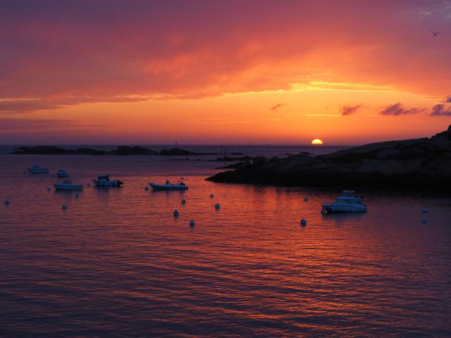
Sunset Coz Pors Trégastel
|
The Talbert fold