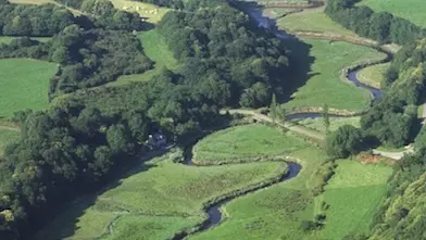
The 30 km of this small coastal river link the foothills of the Monts d'Arrée to the cove at Locquirec. It rises at Coat ar Herno in Scrignac and forms the border between the departments of Finistère and Côtes d'Armor. It is joined by several tributaries, the main ones being the Squiriou, the Dourmeur and the Dour Uzel.
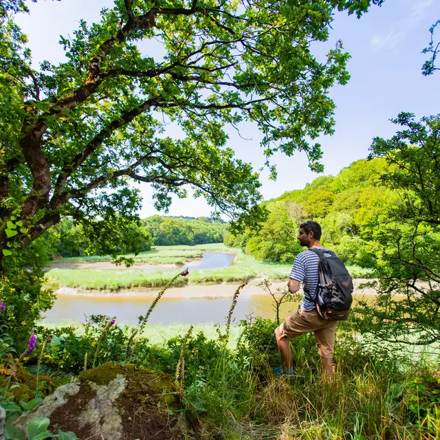
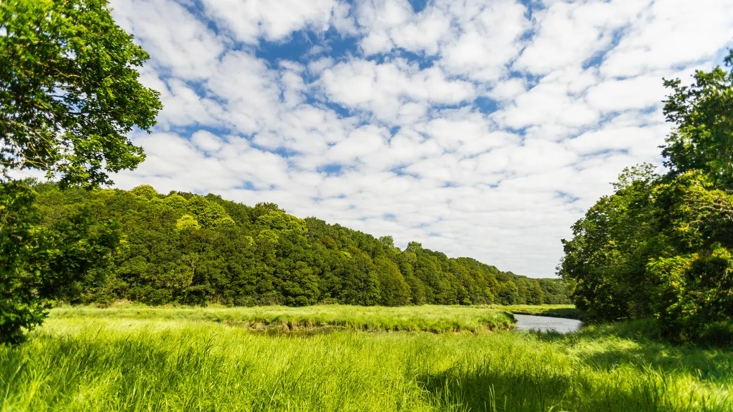
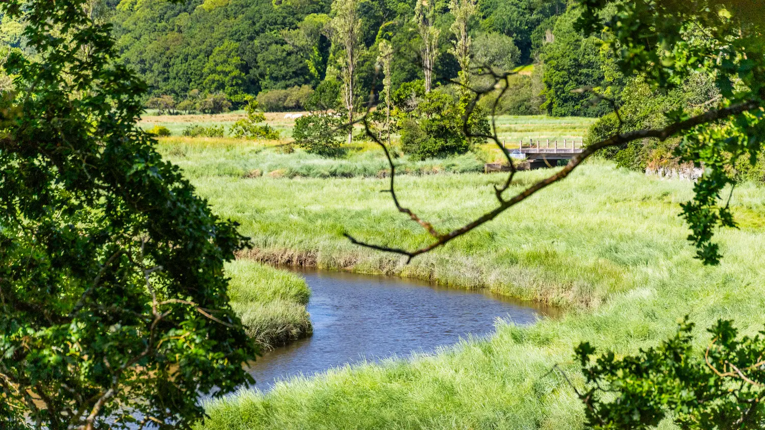
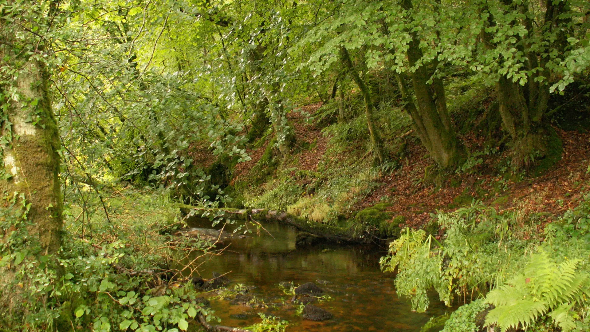
Because of its border location, the valley has undergone little urban development, offering a wild character and a concentration of rare natural environments. It is home to a number of remarkable plant and animal species, and was included in the Natura 2000 network in 2007. The landscape is dominated by wet meadows and moorland upstream. As the river flows downstream, the valley becomes narrower and more wooded. On the last stretch of its course, the Douron opens out into a wide estuary dominated by rich, well-preserved salt meadows.
The topography contrasts sharply between upstream and downstream, creating a narrow, incised watershed. The river is therefore classified as torrential, with a width of 3 to 5 m.
The river offers a wide variety of profiles for different fishing techniques. This river of buttercups is frequented by Atlantic salmon and brown trout.
Please note that Finistère regulations apply.
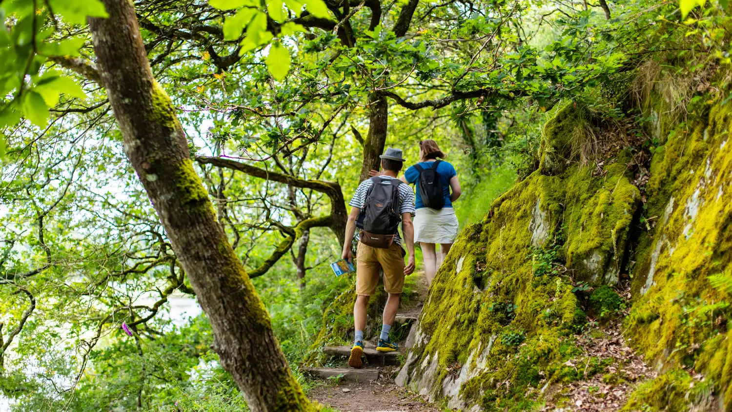
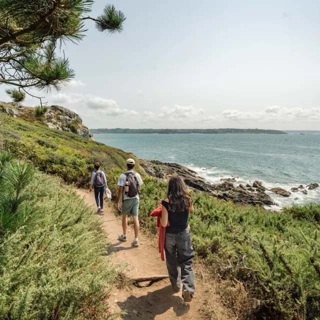
Marked hiking and mountain biking trails.
Information, guides and full programme available from the Tourist Office.