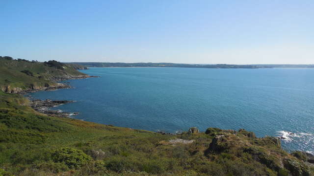
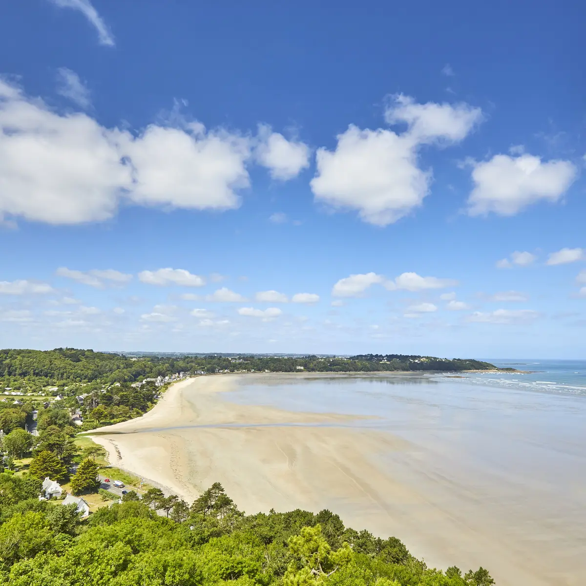
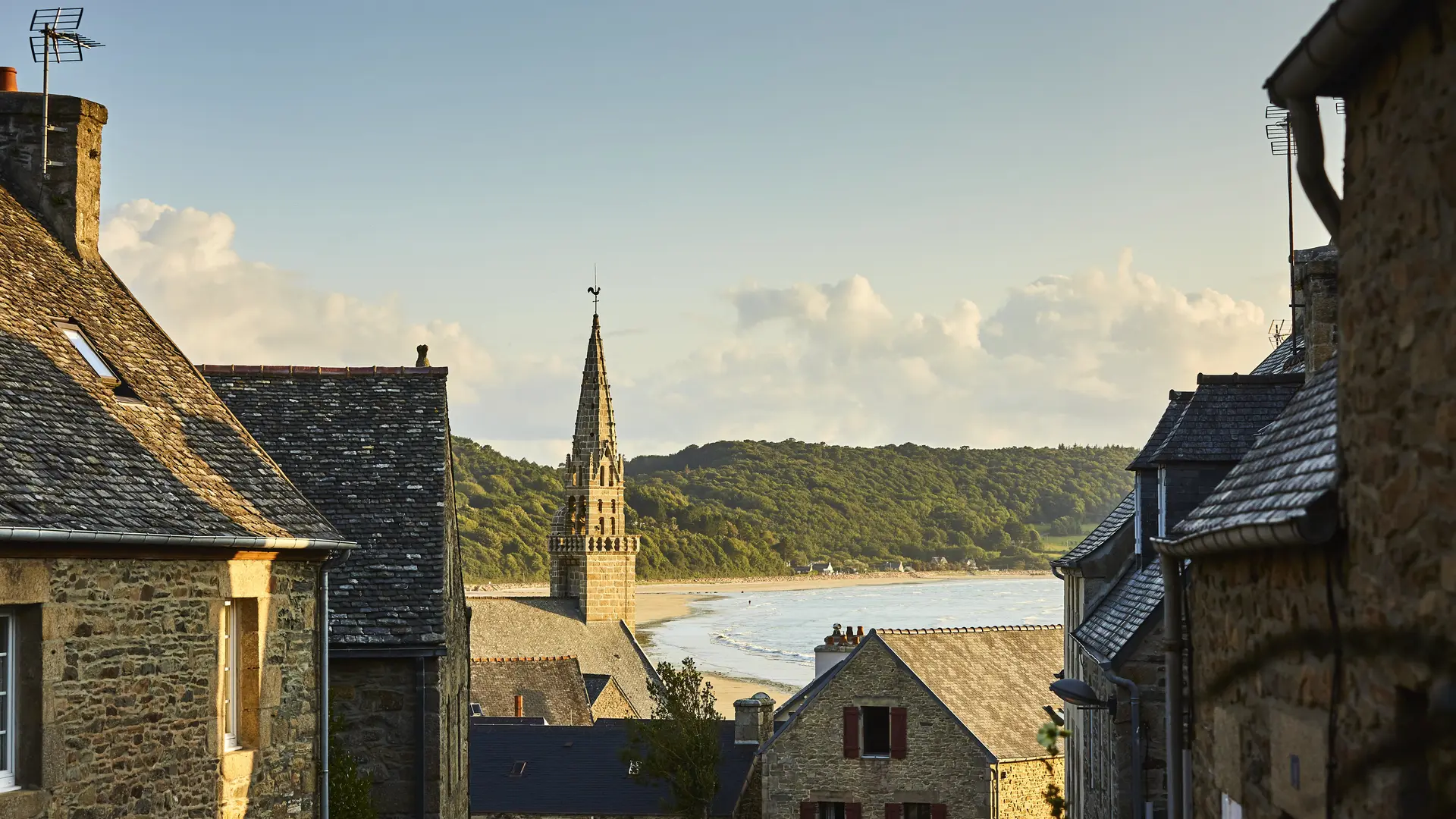
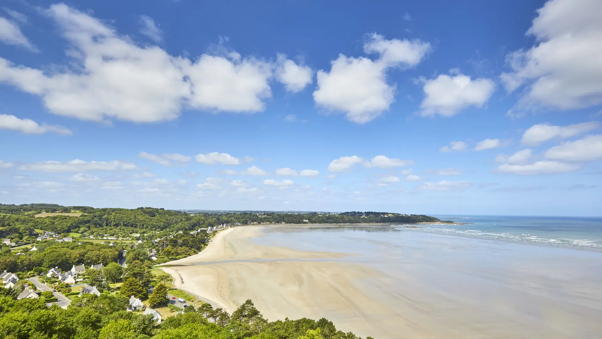
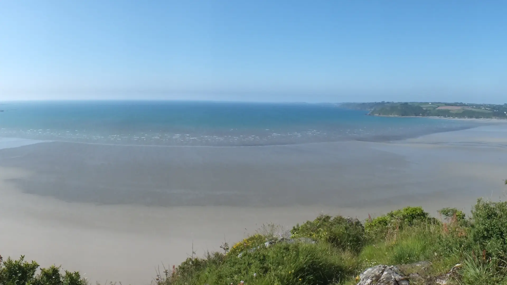
The Lieue de Grève is a vast foreshore 4 km long and over 1 km wide. It is one of the largest bays in Côtes-d'Armor and Brittany. At low tide, the sea can recede by up to 1.3 km.
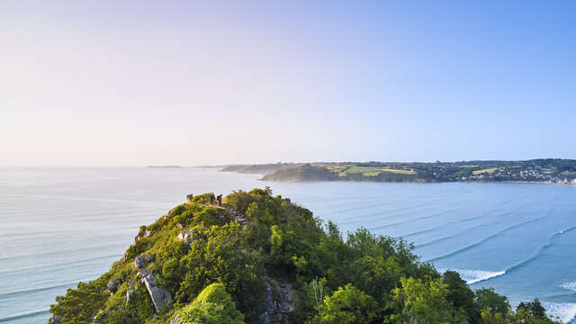
The bay is enclosed to the east by the cliffs of St Michel, which cover 12 ha of sensitive natural areas, and to the west by the Pointe de l'Armorique, another sensitive natural area in the département. The beach is divided into two coves by the Grand Rocher, which rises to 84m.
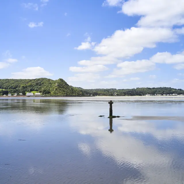
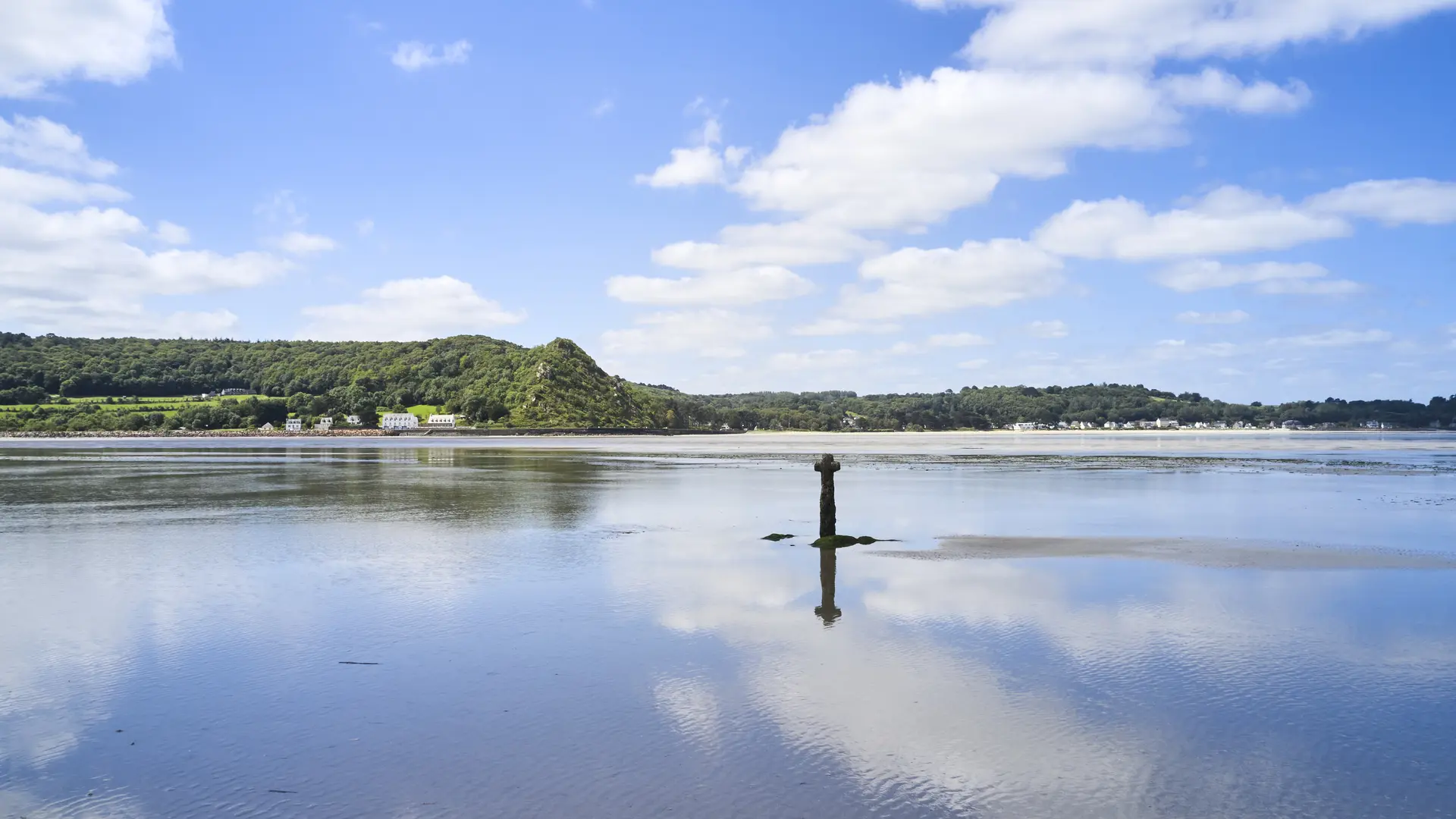
Over the course of geomorphological history, the Lieue de Grève has undergone fluctuations in sea level, alternating between rocky and sandy landscapes. An ancient Roman road ran through the area. A cross, which was reinstalled in 1993, used to mark the way for travellers.
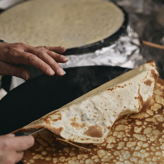
This foreshore has long been exploited for its sand, which is rich in shell debris. Farmers used it to fertilise their land.
An old railway line linking Plestin-les-Grèves to Lannion was laid over the bay by Louis-Auguste-Marie Harel de La Noë in 1916. This route is now covered by the EV4 motorway and the RD 786 road.
Several heritage features are worth a visit: the marine cemetery around the Church of Saint Michel and the St Efflam footbridge.
With its flat, semi-enclosed bay and shallow waters, the beaches of the Lieue de Grève are ideal for water sports and leisure activities, particularly sand yachting.
Car parks along the bay: access to the GR 34, the EV4 cycle route, departure points for hiking trails, picnic areas. Nature outings, sporting activities and guided tours. Full programme available from the Tourist Office.


Rates
Free of charge
—
Openings
All year 2026
Location
Environment
Environment
- Near a hiking trail : GR 34