See photos (5)
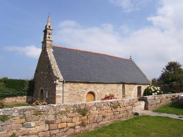
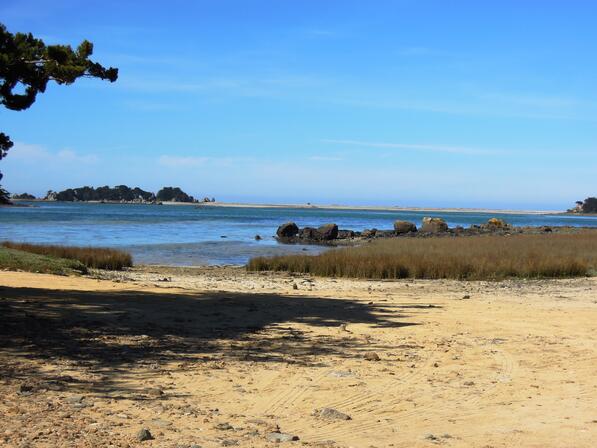
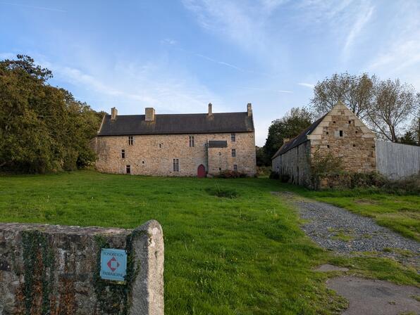
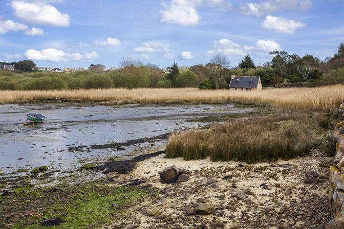
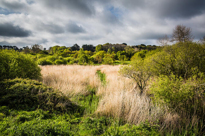
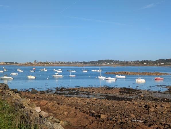
Autour de Buguélès
Foot
in Penvénan
8.4
km
En boucle
Foot
2h 30min
Easy
- Departure
- Penvénan
-
-
Difference in height
- 145.341 m
-
-
-
Routemarking
-
-
-
Documentation
- GPX / KML files allow you to export the trail of your hike to your GPS (or other navigation tool)
-
- Points of interest
1
2
3
4
5
6
7
- 145 meters of difference in height
-
- Maximum altitude : 65 m
- Total positive elevation : 145 m
- Total negative elevation : -145 m
- Max positive elevation : 64 m
- Min positive elevation : -53 m