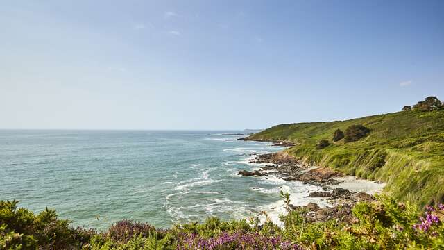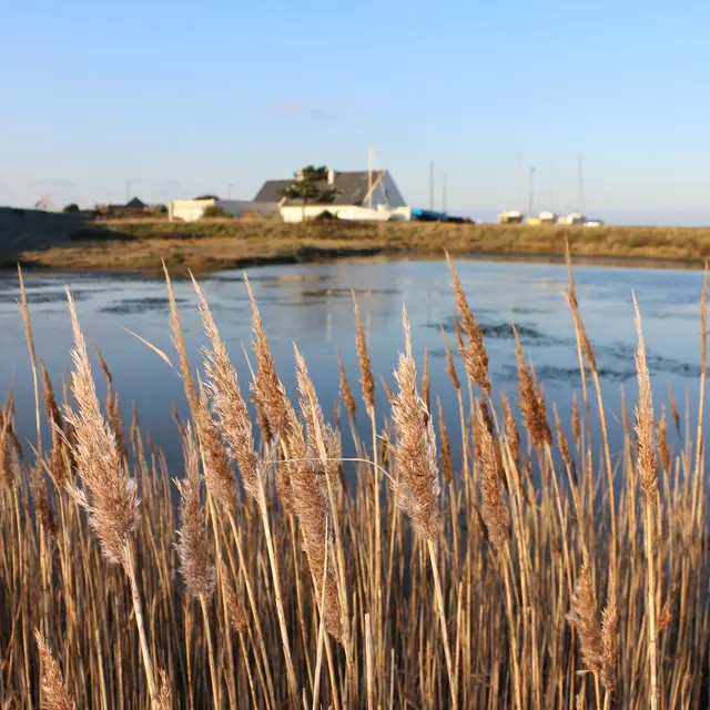
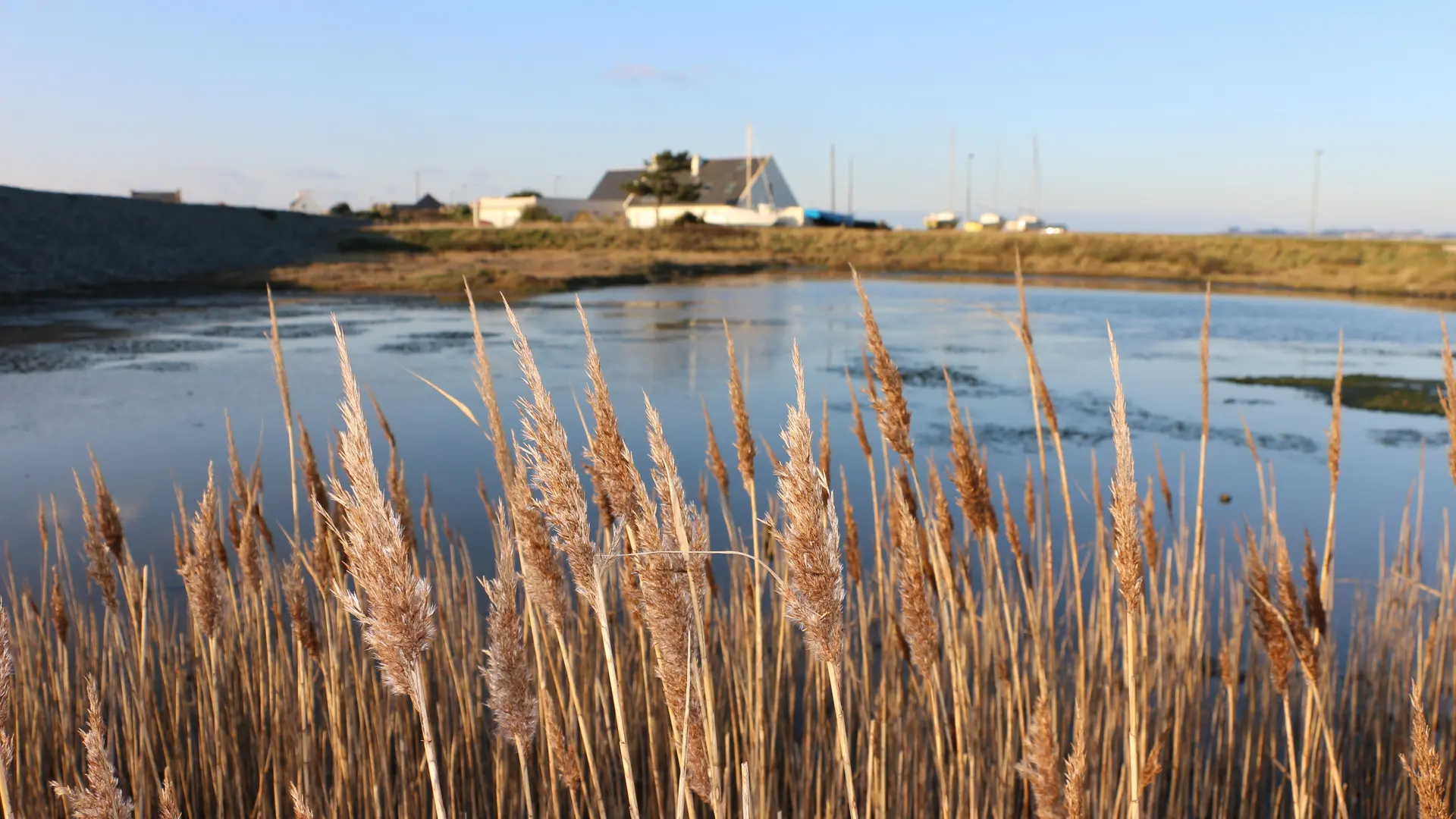
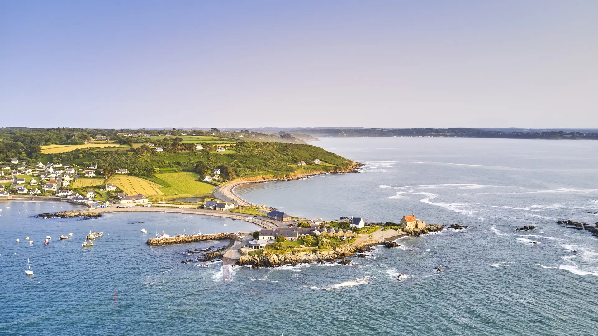
Nestling between two pebble beaches (double tombolo) that link the Pointe de Séhar to the mainland, this coastal marsh is characterised by its shape and changing salinity with the tides. Originally, it was covered by the tide twice a day.
Infilling work in the 1970s partly filled it in, but a good 6,000 m² remains. The shallow brackish water is home to a unique flora and fauna. Sea and freshwater plants live side by side here, with sea ruppia in the case of the former and phragmites in the case of the latter.
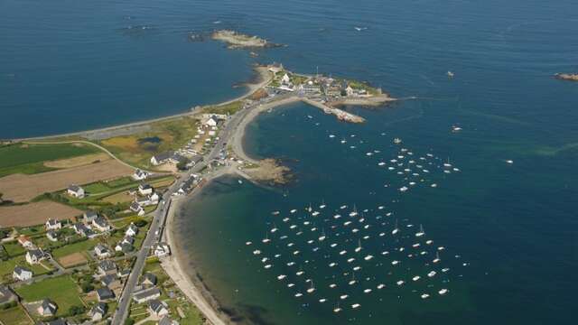
This sea pond is a wintering and feeding ground for several species of birds. At the end of the 19th century, a road was built on the northern spit to encourage the development of the port of Locquémeau, which was booming with sardine production.
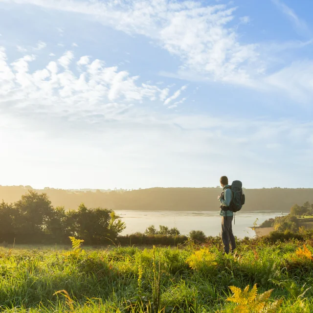
Port car park: access to the observatory and information panel. Start of the 7km walking trail. Picnic area.
Nature outings and guided tours throughout the year. Full programme available from the tourist office.
Infilling work in the 1970s partly filled it in, but a good 6,000 m² remains. The shallow brackish water is home to a unique flora and fauna. Sea and freshwater plants live side by side here, with sea ruppia in the case of the former and phragmites in the case of the latter.
This sea pond is a wintering and feeding ground for several species of birds. At the end of the 19th century, a road was built on the northern spit to encourage the development of the port of Locquémeau, which was booming with sardine production.
Port car park: access to the observatory and information panel. Start of the 7km walking trail. Picnic area.
Nature outings and guided tours throughout the year. Full programme available from the tourist office.
Rates
Free of charge
—
Openings
All year 2026
Location
Spoken languages
Spoken languages