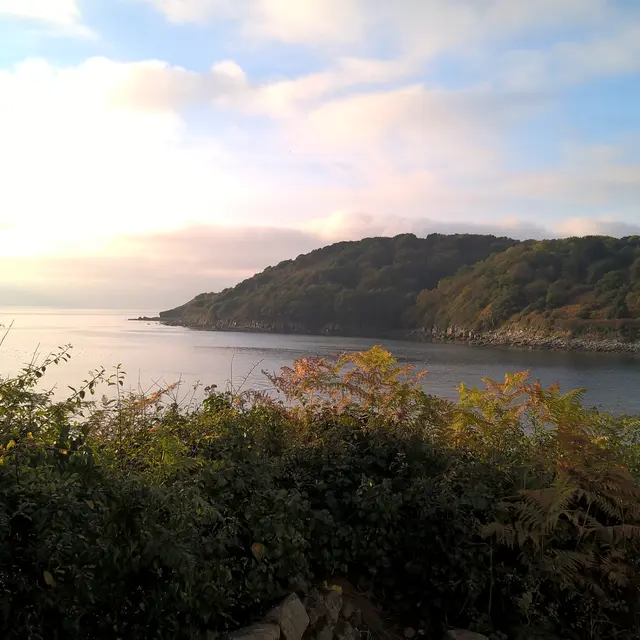
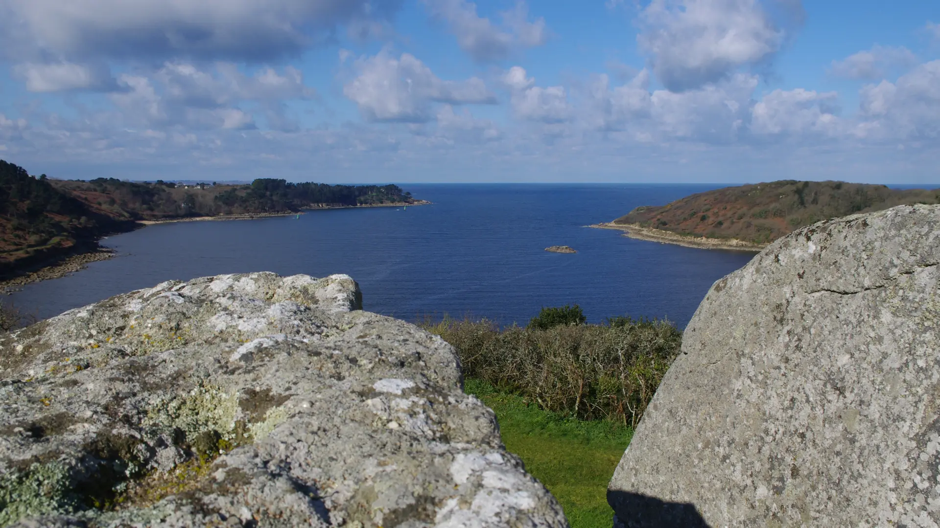
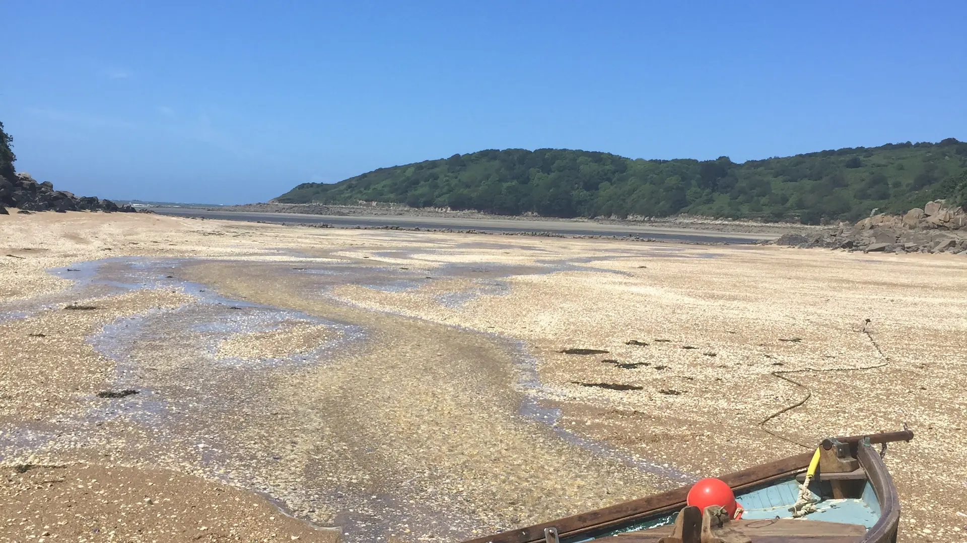
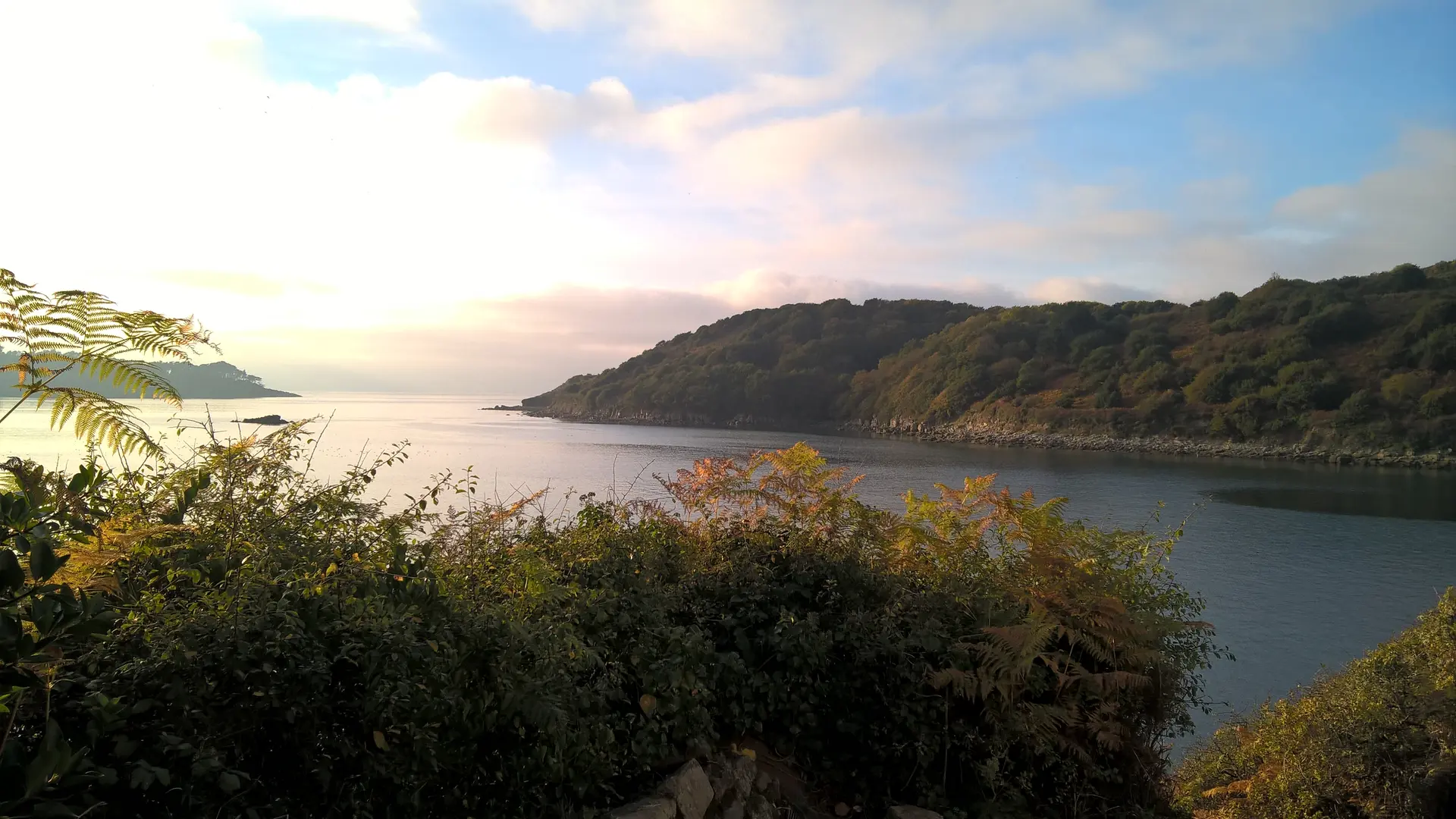
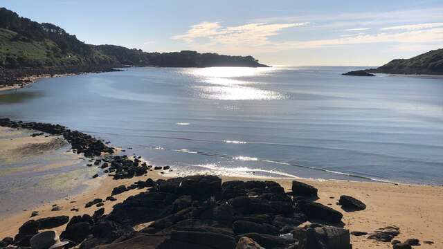
This promontory, at the heart of the Léguer estuary, is formed by two plateaux separated by a steep slope: the first at an average altitude of 40 m, the second culminating at 61 m. Owned by the département since 1980, this 10-hectare sensitive natural area is made up of coastal moorland and cliffs with granite chaos at the foot.
In the more protected area, an oak wood has developed. The dwarf shape of the individuals is due to the maritime influence.
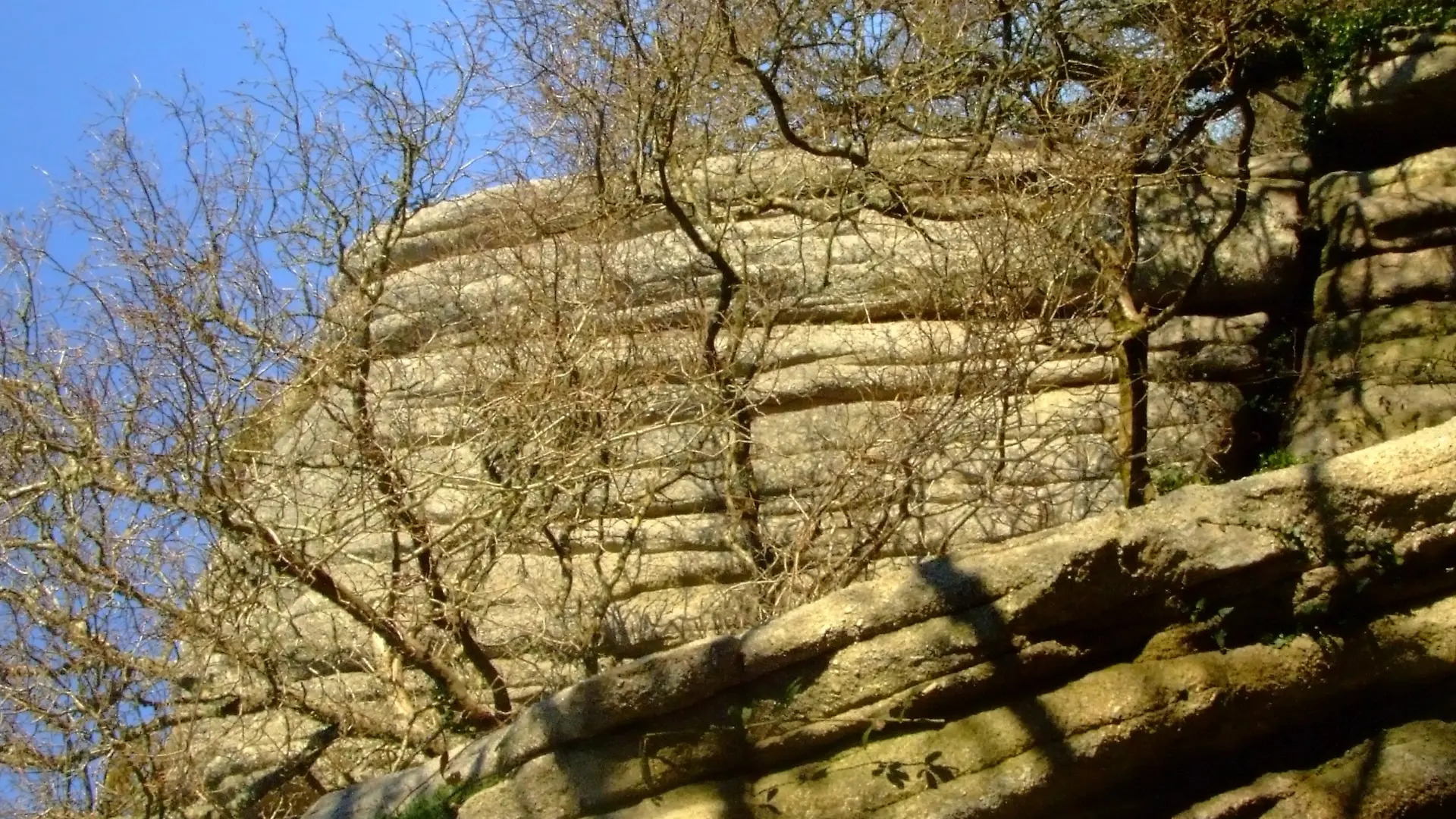
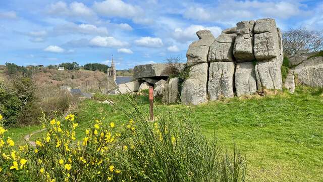
Three isolated boulders or ‘granite balls’ have emerged on the site as a result of the degradation of the Plouaret granite massif: the Pierre Branlante, the Rochers de Château and the Rochers de Beaumanoir.
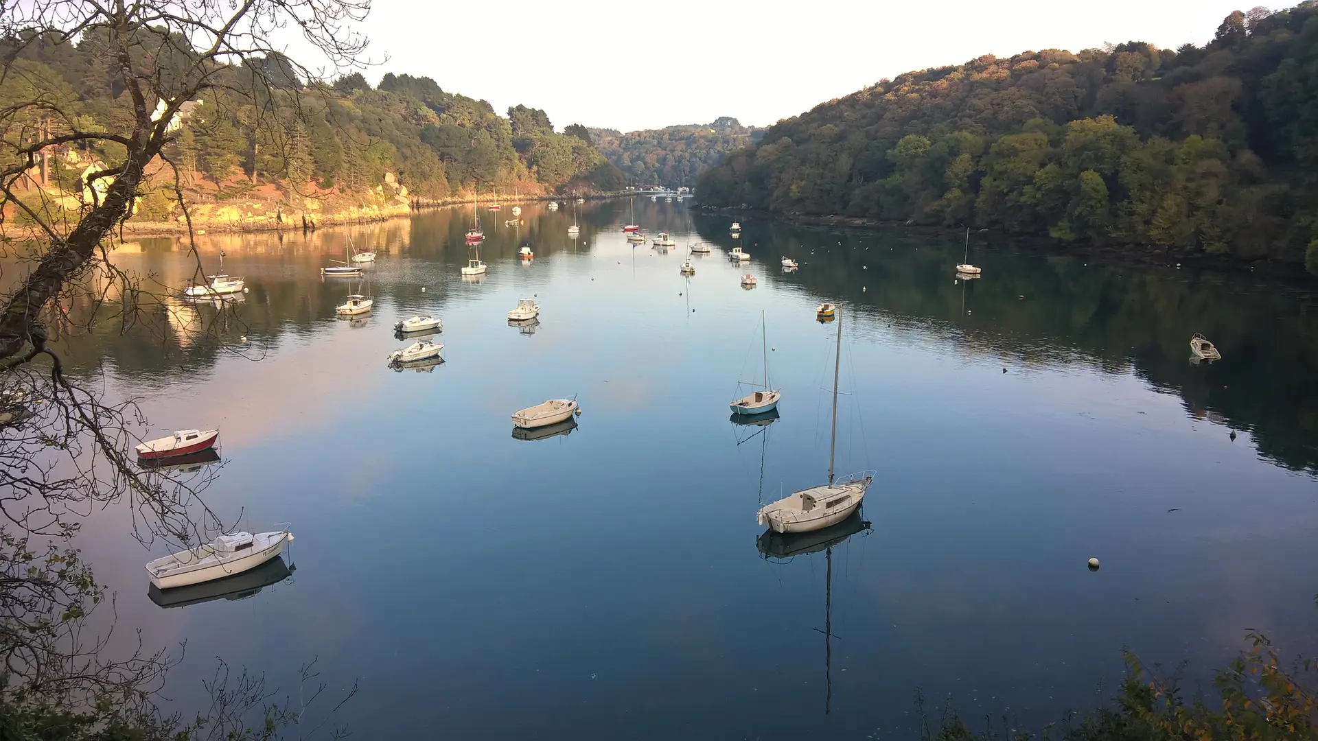
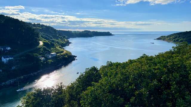
This promontory offers a magnificent panorama over the Baie de la Vierge and the Léguer estuary. For over 2,000 years, this natural fortress has controlled one of the main access routes into the interior of Brittany. The remains of every civilisation on the site bear witness to its occupation since the end of the Iron Age. The ‘murus gallicus’ was transformed at the time of the Roman conquest, around which the city of Vetus Civitas, now Le Yaudet, was built.
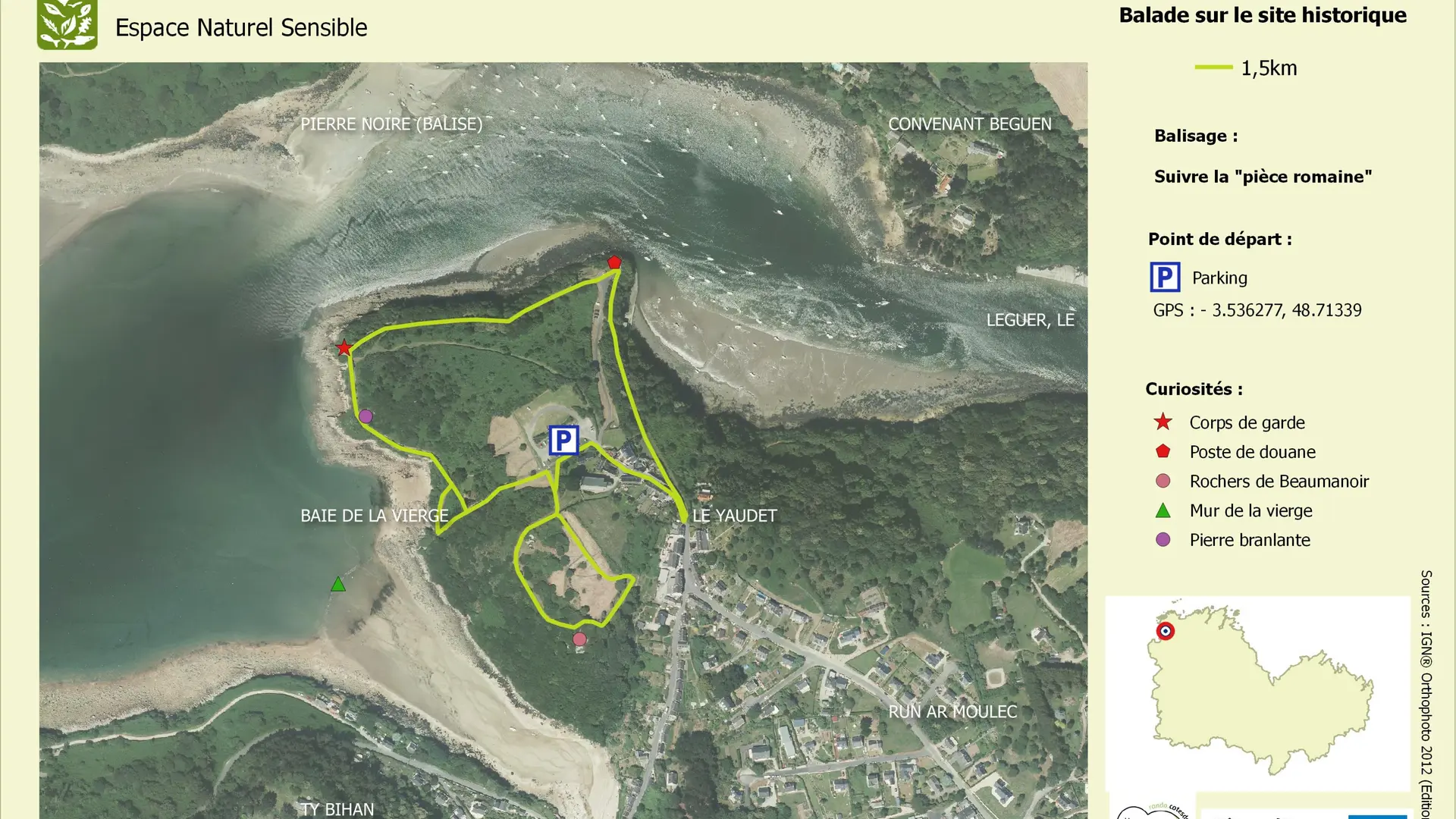
Le Yaudet car park: GR 34 access, 6km and 8.5km hiking trails, 7km hiking trail, 1.5km interpretation trail. Nature outings and exhibitions are organised throughout the year. Full programme available from the tourist office.